

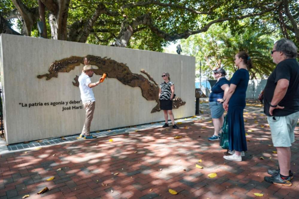
Quick answer: Little Havana sits directly west of Downtown Miami and Brickell, roughly bounded by SW 12th Avenue to the east, SW 27th Avenue to the west, SW 1st Street to the north, and Coral Way to the south. Its main corridor, Calle Ocho (SW 8th Street), runs through the middle of that grid, with the busiest tourist stretch between 13th and 17th Avenue. It’s about 3 miles / 10–15 minutes from Downtown Miami and roughly 7–9 miles / 15–25 minutes from South Beach, depending on traffic and exact starting point.
Where exactly is Little Havana?
Little Havana is a neighborhood in the City of Miami, immediately west of Downtown Miami and Brickell and just south of the Miami River. Its rough boundaries:
- East: SW 12th Avenue (borders Downtown Miami)
- West: SW 27th Avenue
- North: SW 1st Street / the Miami River
- South: Coral Way (also called SW 22nd Street in parts)
Within that footprint, Calle Ocho (Southwest 8th Street) is the neighborhood’s spine, and the Cuban Quarter, the densest concentration of sights, shops and restaurants, runs specifically between 13th and 17th Avenue. If you only have time for a slice of Little Havana, that four-block stretch is it. For what to actually do once you’re there, see our Little Havana things-to-do guide.
How to get to Little Havana
From Miami International Airport (MIA): About 15–20 minutes by car via SW 8th Street/Tamiami Trail directly, or NW/SW 27th Avenue. Rideshare is the simplest option; there’s no direct rail link.
From Downtown Miami / Brickell: About 10–15 minutes by car heading west on SW 8th Street or via Coral Way. It’s a genuinely walkable distance from the western edge of Brickell for confident walkers, though most visitors drive or rideshare.
From South Beach / Miami Beach: See the dedicated section below.
By public transit: Miami-Dade Transit’s Route 8 bus runs the length of SW 8th Street through the neighborhood. The Metrorail doesn’t stop directly in Little Havana; the closest stations require a bus or rideshare connection the rest of the way.
Driving directions to South Beach from Little Havana
This is one of the most common questions visitors have once they’re done exploring Calle Ocho, since South Beach is usually the other half of a Miami day trip. Two main routes:
Via the MacArthur Causeway (I-395): Head east on SW 8th Street or Coral Way to connect with I-95 or Downtown surface streets, then take the MacArthur Causeway across Biscayne Bay into South Beach. This is typically the faster route, generally 15–20 minutes in light traffic, longer during rush hour or weekend beach traffic.
Via the Julia Tuttle Causeway (I-195): A slightly more northern route, useful if you’re heading to the northern part of Miami Beach rather than South Beach specifically. Expect roughly 20–25 minutes under normal conditions.
Realistic estimate: Budget 20–30 minutes door to door for the drive from central Little Havana to South Beach, and closer to 45 minutes to an hour during Friday evening or weekend rush periods. Distance is roughly 7–9 miles depending on your exact start and end point, so this isn’t a long drive by any measure, but Miami causeway traffic can add real time on peak weekends.
By rideshare: Uber or Lyft is the simplest way to make this trip without worrying about parking twice in one day, and pricing is generally predictable for a trip this short.
Little Havana directions: getting around once you’re there
Once you’re in the neighborhood, the grid is straightforward: avenues run north-south and are numbered, streets run east-west and are also numbered, with SW 8th Street (Calle Ocho) as the anchor. A few practical notes:
- Street numbering: Avenue numbers increase as you move west. So SW 17th Avenue is west of SW 13th Avenue, which is west of SW 12th Avenue (the border with Downtown).
- The core walking stretch is compact: 13th to 17th Avenue is about four blocks, entirely walkable in 15–20 minutes end to end if you’re not stopping.
- GPS apps work fine here. Search “Calle Ocho” or “SW 8th Street, Miami, FL” directly rather than just “Little Havana,” which can sometimes route you to a less specific point in the neighborhood.
Parking in Little Havana
Metered street parking is available along and just off SW 8th Street, and it fills up fastest on weekend afternoons and during Viernes Culturales (the last-Friday-of-the-month street festival). Side streets one block north or south of Calle Ocho are usually a better bet than circling the main strip itself. A few paid lots serve the busiest blocks near 15th–16th Avenue if street parking isn’t available.
The easiest way to see it without worrying about any of this
If navigating, parking and figuring out where to actually stop sounds like more logistics than you want to manage on vacation, a guided Little Havana food tour meets you on Calle Ocho and handles the route, the timing and the stops, so the only map you need is the one your guide already has memorized.
FAQ
Where is Little Havana located?
Little Havana is a neighborhood in the City of Miami, directly west of Downtown Miami and Brickell, centered on SW 8th Street (Calle Ocho) between roughly SW 12th and SW 27th Avenue.
How far is Little Havana from South Beach?
Roughly 7–9 miles, typically a 15–25 minute drive depending on traffic and your exact route (MacArthur Causeway is usually fastest). Add extra time during weekend rush periods.
What street is Calle Ocho?
Calle Ocho is the local name for Southwest 8th Street, Little Havana’s main commercial corridor.
Is Little Havana walkable?
Yes, the core tourist stretch between 13th and 17th Avenue is compact and easily walkable in 15–20 minutes end to end, with most of the neighborhood’s sights, shops and restaurants along that stretch.
Mapped out by the Little Havana Tours team, who cover this exact route on foot every day leading our Little Havana food tour — if you’d rather skip the parking search entirely, that’s where we come in.